

Riverbend Natural Capital.
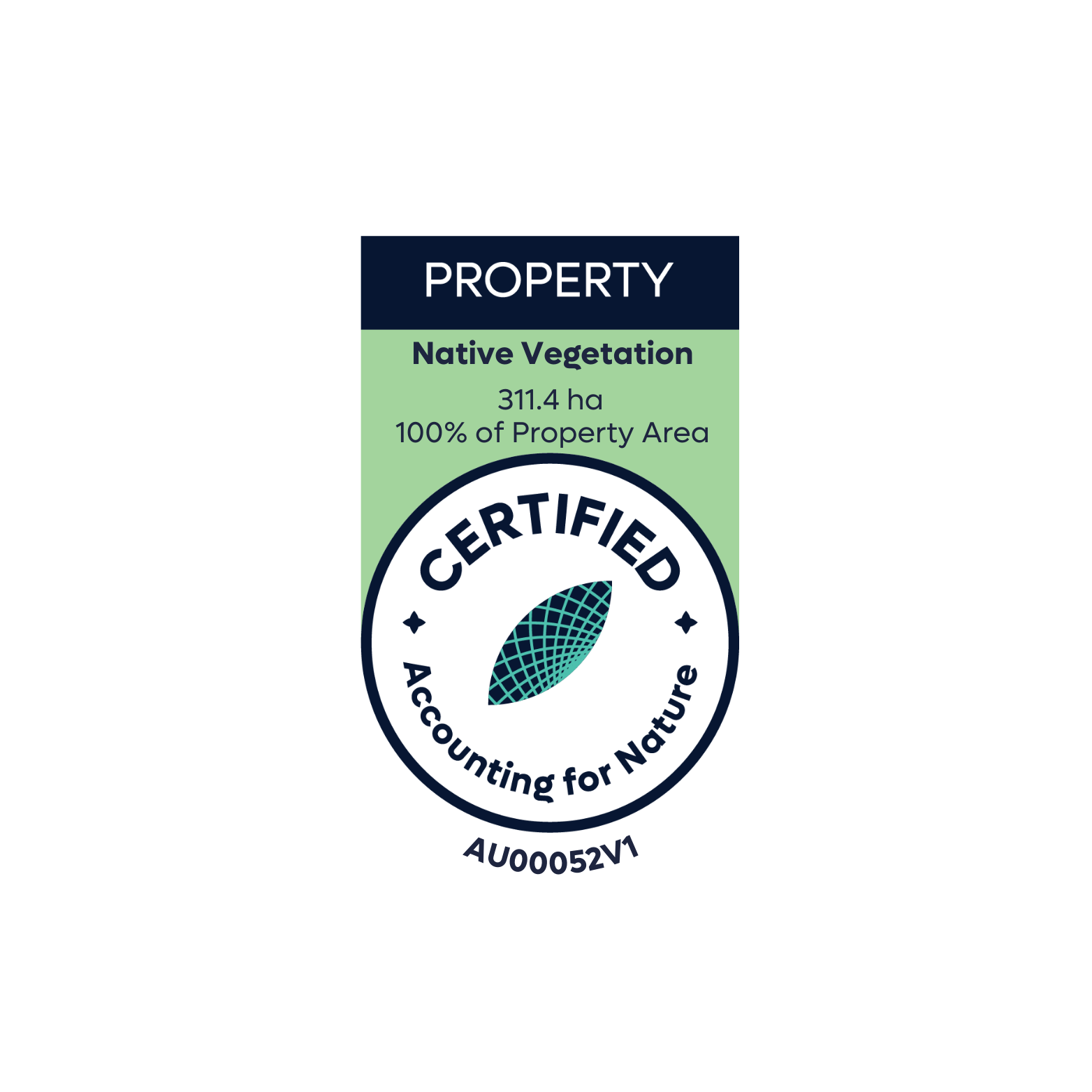
Native Vegetation Asset Account.
Environmental Account: AU00052
Account Holder: The Trustee for Stewart Family Trust
Environmental Asset: Native Vegetation
Asset Account ID: AU00052V1
Registration Date: 12 December 2022
Certification date: 20 January 2026
Certification pathway: AfN-Verified
Purpose: Assess and track changes in the condition and extent of native vegetation over time to support regenerative land management.
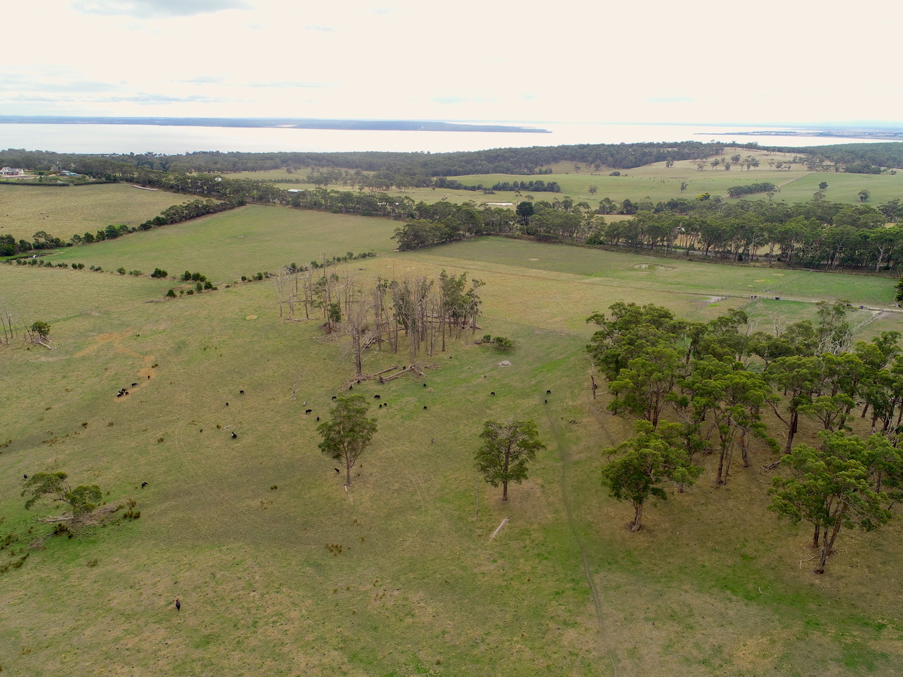
Current land use: Grazing
Area: 311.4 ha (100% of property area)
Scale: Property
Method: AfN-METHOD-NV-06
Asset Account snapshot.


Asset summary.

Asset statement.
-
12 December 2022 - Registration Date
-
20 January 2026 - Certification Date
Significant outcomes.
As this account is the first for Riverbend Farm, the account contains reference benchmark and baseline assessment data. The assessment units show exceptionally high Econd® scores (for non-grazing assessment units), which reduce for the sub-asset and asset scores. This is due to the aggregation of grazing assessment units, which have an assumed score of 0/100. The grazing land comprises exotic pasture species and would not score highly for the effort involved in conducting field assessments. With 255 hectares to grazing and just over 40 hectares to native vegetation, the focus on productive farming as the dominant land use is reflected as weightings apply to account for this as well as site context. The large remnant area (AU EVC16 Remnant) has an Econd® of 70.4 with only tree canopy cover and native perennial grasses as the two indicators outside the reference range. As a remnant area, this site is as self-organised as possible in a modified landscape, and not much can be done to adjust the management of this assessment unit. If additional plantings are possible under the nature covenant, adding some native grasses would be an option. The smaller remnant area (EVC18 Riparian Forest) also scores very high with 47.8; most of the indicators are outside of the reference range, which is quite surprising for a riparian zone. The sub-canopy and shrub layers are much higher than the reference benchmark. It should be questioned in future accounts if this is remnant vegetation or revegetation/regeneration, as fencing off the waterway is a recent change on the property. The grazed scattered paddock trees (EVC16 grazing remnant) score 12.5, as only tree canopy height and cover are within the reference range. As this is grazing paddocks, the living trees could benefit from being fenced off and allowing some regeneration of understorey, which would improve the AU Econd® over time. Overall, the property Econd® is significantly reduced by weightings between native vegetation and grazing area. As a commercial grazing enterprise, this is to be expected. Small management practices to increase assessment unit Econd® are possible and should increase the property Econd® by 10%.
Limitations & disclosures.
One of the key limitations in our southern Victoria landscape is the smaller farm sizes; hence, many re-vegetation projects are smaller in scale. This property has a focus on preserving the existing remnant vegetation through a conservation covenant. Some of the assessment units were less than 20m wide or were not actually native vegetation once ground-truthed. This has been reflected in the account. One assessment unit (EVC18 – Remnant) was undersampled due to the width (20m) and inability to establish a second sample site. This is not expected to influence or impact the Econd® and further investigations will take place to determine the viability of establishing an additional sample site.
In Victoria, we have no reference benchmark for sub-canopy height, and this has been scored as N/A; however as the NV sub-assets include a sub-canopy cover indicator with a reference benchmark, we plan to seek expert opinion in future to assist with the development of a reference benchmark to enable sub-canopy height to be included in future sampling. It should be noted that this account was developed through a grant, and funding did not allow for unanticipated costs (such as consultants) to provide additional expertise in such cases, such as this.
With an unanticipated change to the assessment units, creating two new AUs to reflect the large patches of scattered paddock trees, these were not assessed in the same season as the rest of the sample sites. Given the main indicators with a relevant measure (canopy height and cover), these are unlikely to have changed in the 6-month period between site measurements.
The groundcover benchmark for NV is based on leaf litter, as this contains a reference benchmark indicator in the EVC to measure against; however, the groundcover benchmark for soils is based on a combination of leaf litter, twigs and undisturbed ground as this is important when measuring the Pcond.
Last update: 20 January 2026


Environmental Account.
Learn more about the Environmental Account.