

Manning Hill Reforestation.
Tamplin Family Holdings Pty Ltd.
Environmental Account.
Environmental Account ID: AU00087
Environmental Account Holder: Tamplin Family Holdings
Location: Bunyah, New South Wales, Australia
Purpose: Document and track vegetation condition over time to inform targeted management actions and communicate outcomes
Current land use: Grazing and forestry
Scale: Project
Total property area: 219 ha
Environmental Account area: 98 ha (44.7% of property area)
Environmental Asset Account.
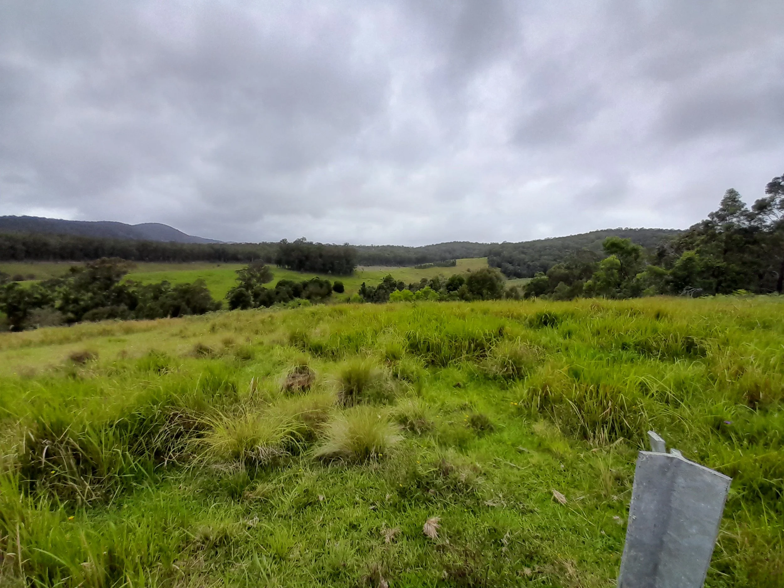
Environmental Asset Account ID: AU00087V1
Status: Certified - AfN Verified
Baseline Certification date: 14 July 2026
Environmental Asset Account area: 98 ha (44.7% of property area)
Environmental Assets: Vegetation - Native
Method: AfN-METHOD-V-06

Certification Passport.
About the Environmental Account.
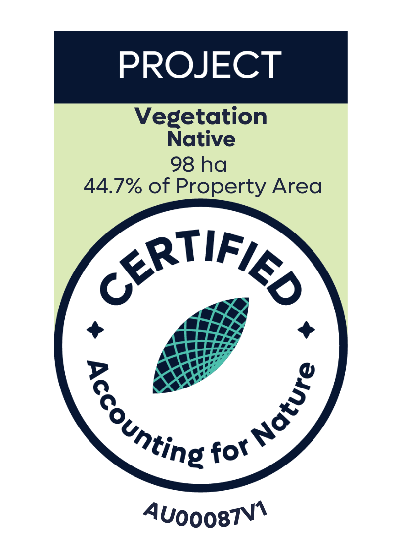
Manning Hill is a 219 ha private grazing and forestry property located at Bunyah in the Mid Coast Local Government Area of the Hunter region, NSW. The landscape comprises remnant native forest, previously cleared areas in various states of regeneration, wildlife corridors, carbon forestry and grazing land.
The Manning Hill Environmental Account covers 98 ha of the 103 ha registered under the Clean Energy Regulator's Environmental Plantings Pilot 2014 ACCU Scheme, with approximately 3 ha of retained vegetation and 2 ha of powerline easement excluded from the Environmental Account area.
Of the 98 ha account area, 85 ha are supported by a NSW Government Living Carbon grant. These areas comprise direct plantings of locally sourced native species matched to pre-clearing vegetation communities, designed to re-establish diverse forest structure with a target crown cover of greater than 40% within 20 years. Planting commenced in 2024 and will be completed in 2026.
The property supports significant biodiversity values, including threatened fauna such as koalas, yellow-bellied gliders, squirrel gliders, feathertail gliders, sugar gliders and red-tailed black cockatoos. Threatened flora include Eucalyptus glaucina and the critically endangered Rhodamnia rubescens.
Historically cleared for grazing, dairy and forestry, the property originally supported several plant community types, grouped into three vegetation categories (Rainforest, Wet Forest and Dry Forest). Ten permanent monitoring sites were established across these groups, with baseline data collected in 2025. This Environmental Account establishes baseline vegetation condition within the project area, providing a reference point for tracking ecological change, informing adaptive management and supporting biodiversity and carbon outcomes over time.
Annual certification compliance & material disclosures.
No current disclosures relating to this account.
Environmental Account location.
About the Environmental Account Holder.
Shaun Tamplin, on behalf of Tamplin Family Holdings, has certified this Environmental Account to assist as a decision-making tool for land management, focusing on vegetation management strategies like maintaining forest canopy cover.
Last update: 14 July 2026