


Hewitt - Natural Capital Vegetation Assessment - Ambalindum.
Hewitt.
Vegetation Environmental Asset Account.
Environmental Account ID: AU00061
Account Holder: Hewitt
Purpose: Measure the condition of native vegetation to communicate and inform sustainable land management decisions
Current land use: Agriculture - Pastoral properties
Environmental Asset: Vegetation - Native
Asset Account ID: AU00061V1
Registration date: 10 October 2023
Baseline Certification date: 19 February 2025
Certification pathway: AfN-Verified
Accredited Expert/s: Anu Singh, Mitchel Rudge
Asset Account area: 546,108 ha (100% of property area)
Method: AfN-METHOD-V-10
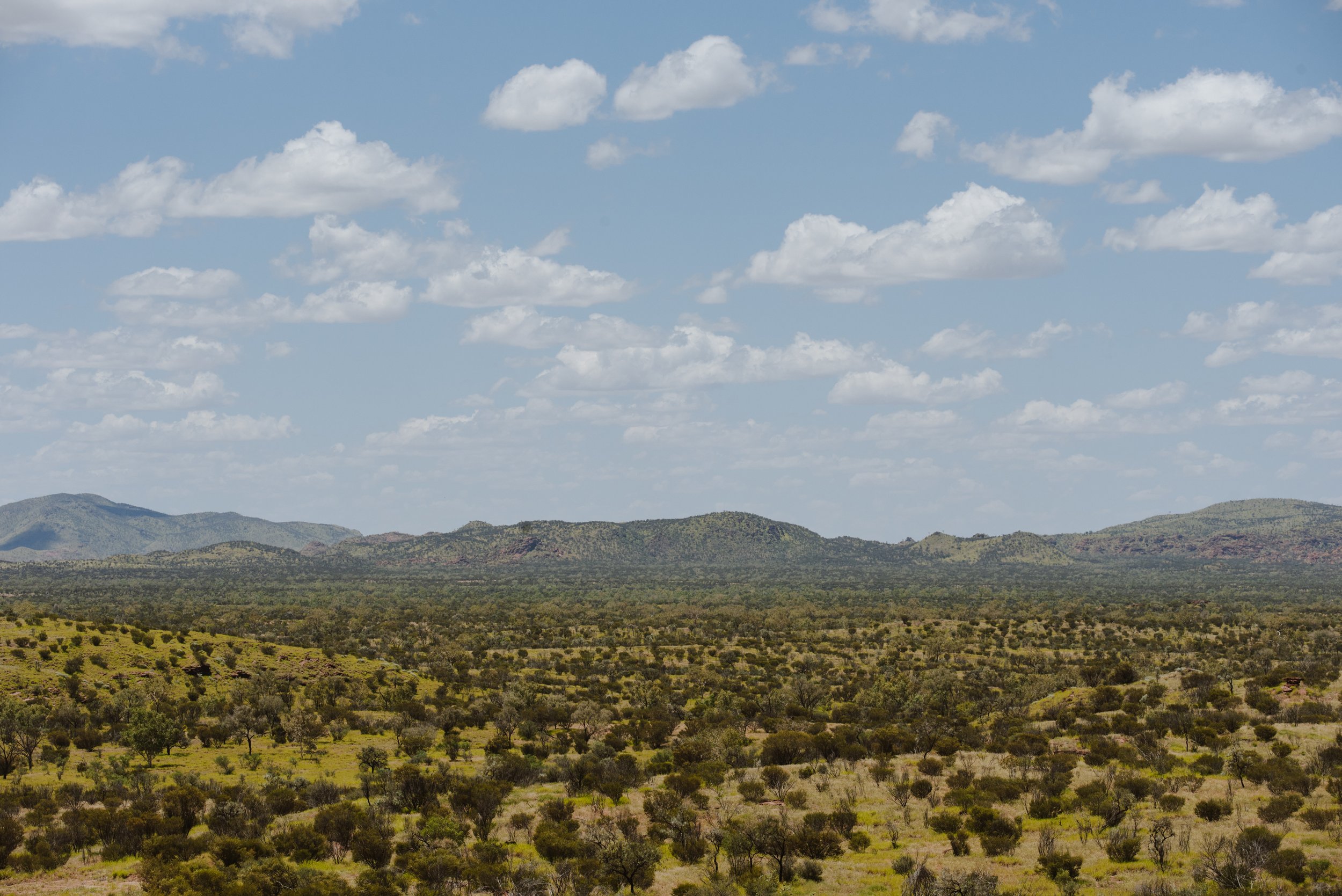
Environmental Asset Account snapshot.
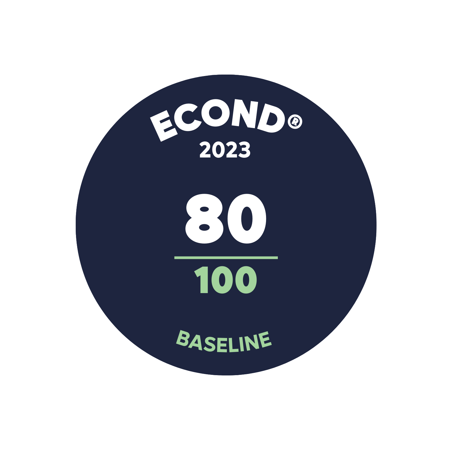

Environmental Asset Account Econd® summary.
Environmental Asset Account statement.
-
10 October 2023 - Registration date
-
19 February 2025- Certification date
-
02 September 2026 - Annual Certification Compliance Report (ACCR)
No significant event or material change in land use was reported or identified.
Significant outcomes.
The overall Econd® was found to be 80, which demonstrates that the properties have been well maintained. The sub-asset scores were fairly consistent, demonstrating the consistent management and condition state across the Environmental Account. The Ironwood sub-asset demonstrated the lowest sub-asset Econd® score (65.6) attributed to low shrub cover and coarse woody debris scores, while the Spinifex on Sand recorded the highest sub-asset Econd® (87.3). Acacia pickardii (vulnerable EPBC) has been recorded in the sandstone ranges near Pussycat Bore (refer to Technical Report for more information), potentially on one or two mesas. Spinifex dune systems in the area are relatively intact and unlikely to support substantial cattle grazing due to the unpalatability of most species in these systems.
Limitations & disclosures.
Uncertainty in ground layer indicators - arises from combining field observations with drone-derived estimates, leading to inaccuracies in cover classification and spatial variation. This issue was amplified at Ambalindum, where litter data were estimated from photographs, causing discrepancies between drone imagery and benchmark values. Future work may benefit from direct observation of drone imagery.
Cryptogam cover - was excluded from the account due to the difficulty of developing benchmarks without large regional datasets. While field observations of cryptogams were collected, they were not included in the final condition score calculations. These observations have been preserved and could be used if benchmarks become available in the future.
Native tree size structure - was excluded from the account due to significant uncertainty. The method involved converting DBH-based benchmarks to tree crown characteristics using drone data. However, errors in tree segmentation and uncertainties in the benchmarks led to unsatisfactory results. As more accurate benchmarks and segmentation methods become available, this indicator may be revisited in future accounts.
Classification accuracy - at certain sites reduced the model's overall reliability, due to high-resolution data noise, blurred indicators, and canopy height model inaccuracies. For sites with less than 50% accuracy, a manual approach was used to calculate cover proportions. These sites were excluded from validation, preserving original data for future re-processing with improved classification methods.
Coarse woody debris - the computer vision model for segmenting and classifying coarse woody debris lacked sufficient accuracy. Instead, coarse woody debris was manually digitised using a line draw tool in Drone-Deploy within 0.1-hectare sub-plots at each site. The total line lengths were summed and multiplied by 10 to estimate debris length per hectare.
Last update: 2 September 2026


Environmental Account.
Learn more about this Environmental Account.