


Elouera Biodiverse Reforestation.
Carbon Projects Co Pty Ltd.
Vegetation Environmental Asset Account.
Environmental Account ID: AU00076
Account Holder: Carbon Projects Co Pty Ltd
Purpose: Facilitate restoration in association with carbon projects and enabling future participation in environmental markets
Current land use: Livestock grazing
Environmental Asset: Vegetation - Native
Environmental Asset Account ID: AU00076V1
Registration date: 05 September 2024
Baseline Certification date: 10 August 2026
Certification pathway: AfN-Verified
Accredited Expert/s: Lucy Healing
Asset Account area: 1,204.1 ha (100% of property area)
Method: AfN-METHOD-V-07
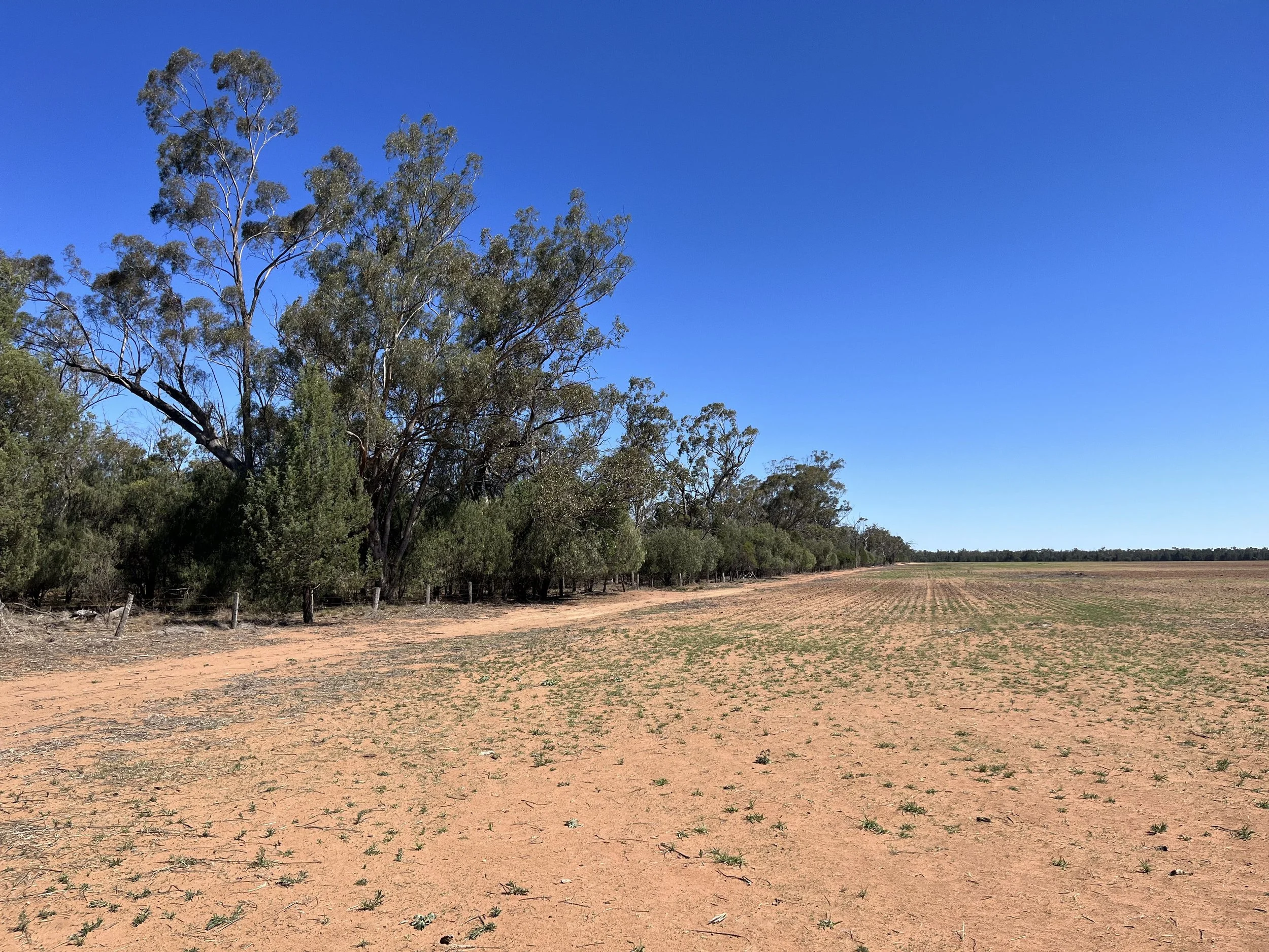
Environmental Asset Account snapshot.
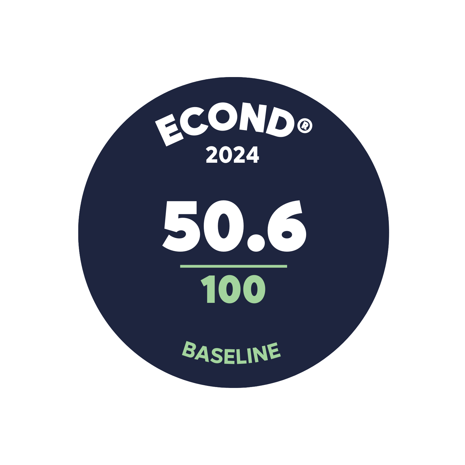
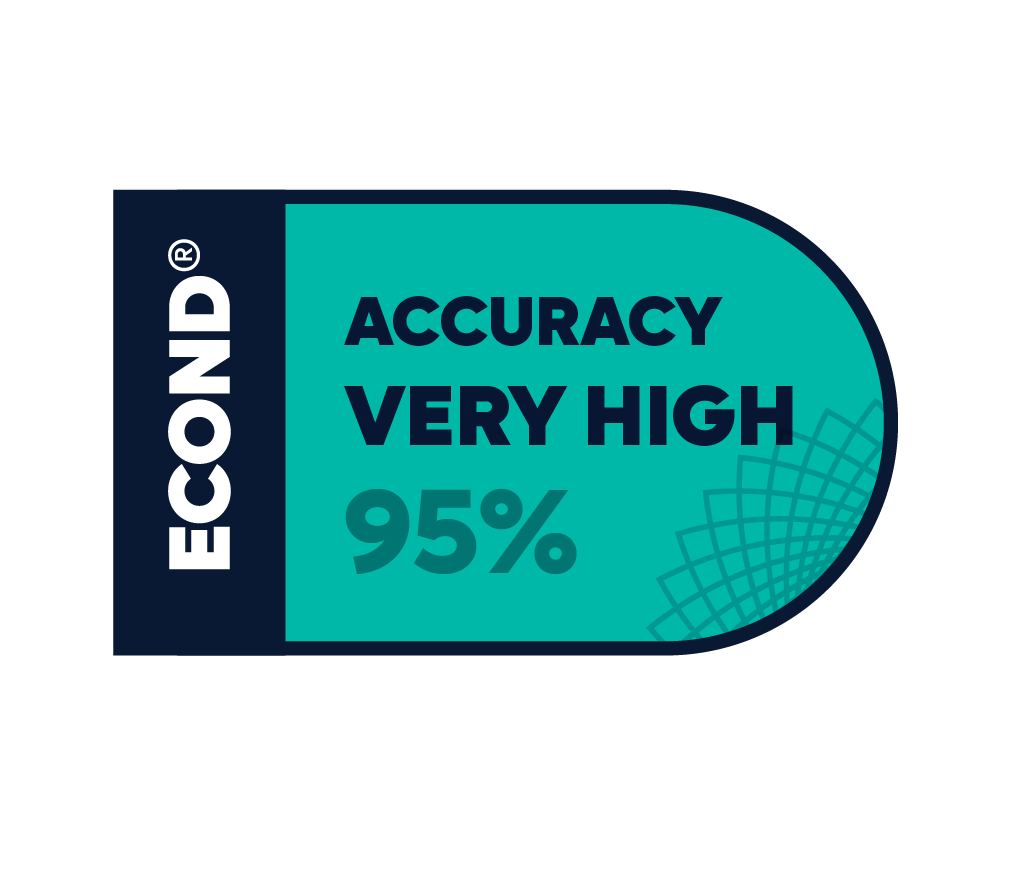
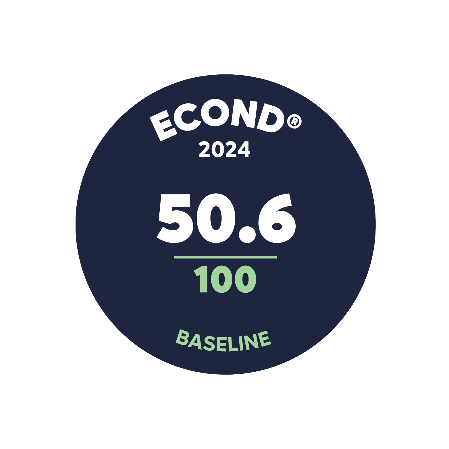
Environmental Asset Account Econd® summary.
Environmental Asset Account statement.
-
5 September 2024 - Registration Date
-
10 August 2026 - Certification Date
Significant outcomes.
The extensive areas of the account cleared of native woody vegetation (77%) resulted in low indicator scores for tree stem density, tree cover, shrub cover, and tree and shrub species richness. These low ICSs were counter-balanced by the high cover of native herbaceous species and herbaceous species richness, and the high configuration scores, influenced by the proximity to the Pilliga West National Park. The planned environmental planting of local native tree and shrub species provide strong potential for the Econd® score to improve in the years to come. Future assessment will take place around 2028.
Limitations & disclosures.
Seasonal timing - Sampling was undertaken during winter due to the need to undertake the baseline survey prior to scheduled planting. The timing of the survey had the potential to reduce the identification of species through lack of flowering parts and reduce the detection of herbaceous annual species. The Pilliga area typically receives the highest rainfall during summer months (BOM 2024, Monthly rainfall data for Pilliga Post Office); however, the proceeding months of April and May received a higher-than-average rainfall of 190 mm,114 mm above average. Many herbaceous species in flower and annual species were recorded, likely stemming from the preceding rainfall, and the timing of the survey is unlikely to significantly skew the ICSs for herbaceous species richness or native herbaceous cover.
Environmental planting preparation - Two paddocks along the southern boundary had received herbicide treatment and some tilling of the soil in preparation for environmental planting. Native herbaceous cover had been greatly reduced or lost in these areas, evidenced by the dead native grasses observed. The condition of these assessment units, 3a and 4a, was likely of higher quality (i.e., greater cover of native species) prior to the site planting preparation occurring. As large areas of spraying had been undertaken, this is likely to negatively impacted the baseline Econd® for three sub-assets – North-west Floodplain Woodlands, Pilliga Outwash Dry Sclerophyll Forest and, North-west Alluvial Sands Woodlands.
Survey intensity - Assessment unit sampling was conducted consistent with the requirements of the Method’s Very High Accuracy Level (CL1), except within assessment unit 3d (Remnant / Not CEA Pilliga Outwash Dry Sclerophyll Forest). This assessment unit was under-sampled (i.e. 6 sample sites of the required 7) due to the ground-truthing of sub-asset mapping. . This will be rectified during the next field survey campaign. For all other assessment units, the number of sample sites satisfies the Method’s Very High (95%) Accuracy Level.



Environmental Account.
Learn more about the Environmental Account.